MILES OF LEVEES
ALONG COLUMBIA RIVER: 17.3
ALONG COLUMBIA SLOUGH: 4.5
INTERIOR CROSS LEVEES: 4.1


ALONG COLUMBIA RIVER: 17.3
ALONG COLUMBIA SLOUGH: 4.5
INTERIOR CROSS LEVEES: 4.1
The Districts operate and maintain levees in compliance with federal standards to reduce flood risk for the areas behind the levees. This work includes vegetation management, levee inspections, and damage repair such as bank stabilization or replacement of rip rap (stone used to protect against erosion).
A levee is a man-made structure, usually an earthen embankment, designed and constructed according to sound engineering practices to contain, control, or divert water flow to provide protection from temporary flooding.
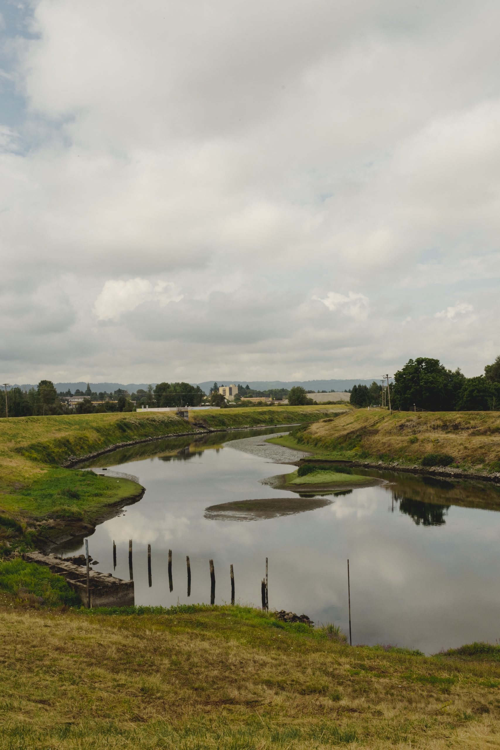
There are 27 miles of levees that extend from the edge of Smith and Bybee Lakes on the West, to the Sandy River on the east along the Columbia River.
Our levees are made of sand placed on top of Columbia River alluvium (sand, silt, and other materials deposited offshore from the river). They are engineered to allow a small amount of water to seep through the levees into a drainage system that pumps the water away. This allows for flood control while also reducing the pressure on the levee to prevent failure.

Levee and Conveyance System Mowing
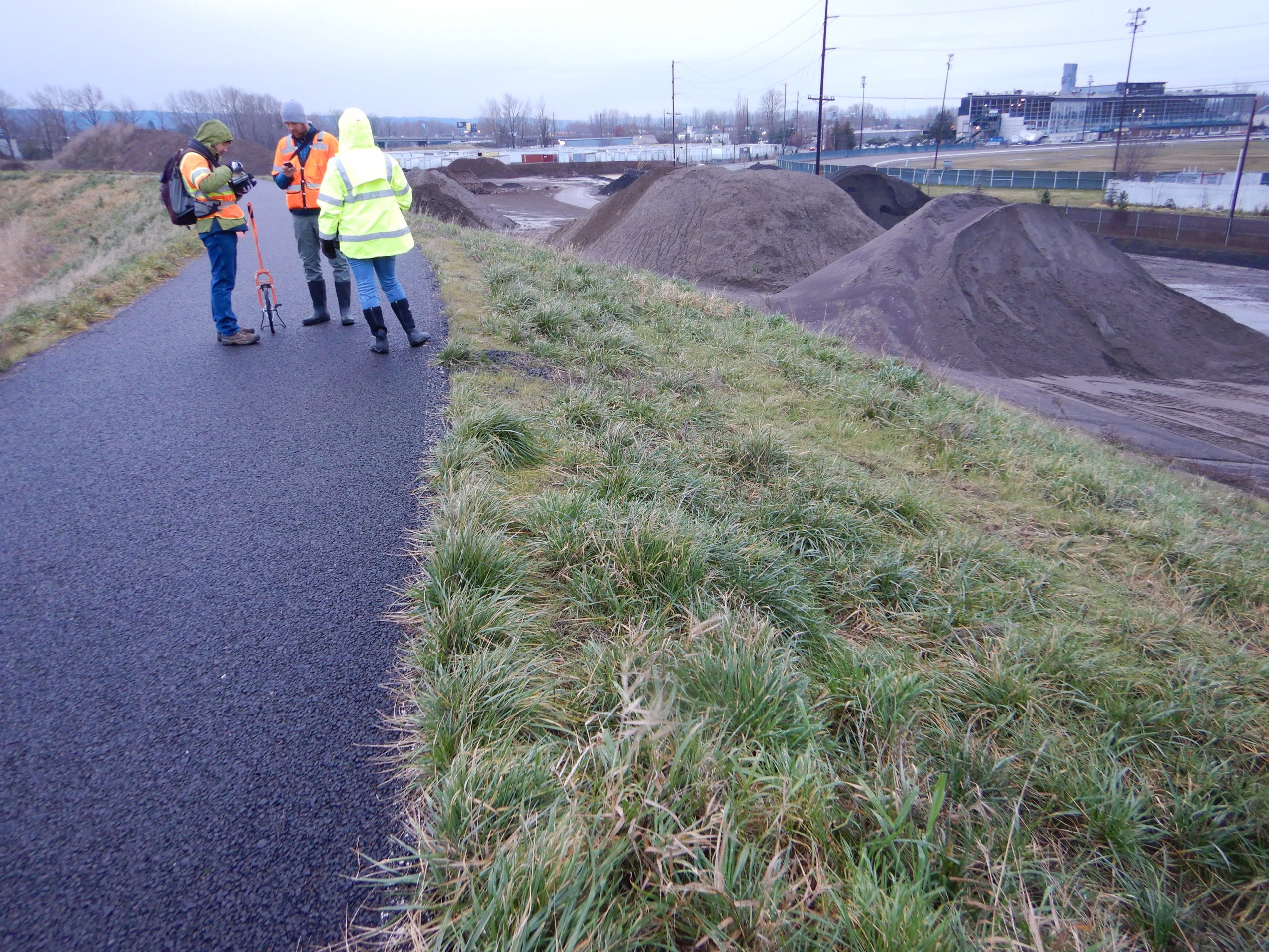
Managing vegetation on the levees is an important part of ensuring optimal levee performance, particularly during high water and heavy rain events. MCDD uses an integrated approach to maintain the most useful vegetation on the levees which includes annual mowing of the levee systems and conveyance systems (sloughs and canals).
Each year our mowing follows the same general schedule:
Terrestrial Herbicide Treatments
Annual terrestrial herbicide applications are essential to achieving USACE Rehabilitation and Inspection Program standards. By conducting treatment on invasive broadleaf weeds each Spring, MCDD is able to promote good ground cover on the levees, embankments, and ditch banks. These efforts allow for visual inspections, ensures access to flood fighting, and maintains levee and slope integrity.
In all its vegetation management work, MCDD employees and contractors follow guidelines to minimize impact their impact on the environment and wildlife following local, state, and federal regulations from the Oregon Department of Fish and Wildlife (ODF&W), Oregon Department of Environmental Quality (DEQ), the Oregon Department of Agriculture (ODOA) and the Environmental Protection Agency (EPA).
If you have questions about MCDD’s vegetation management program, please contact us.

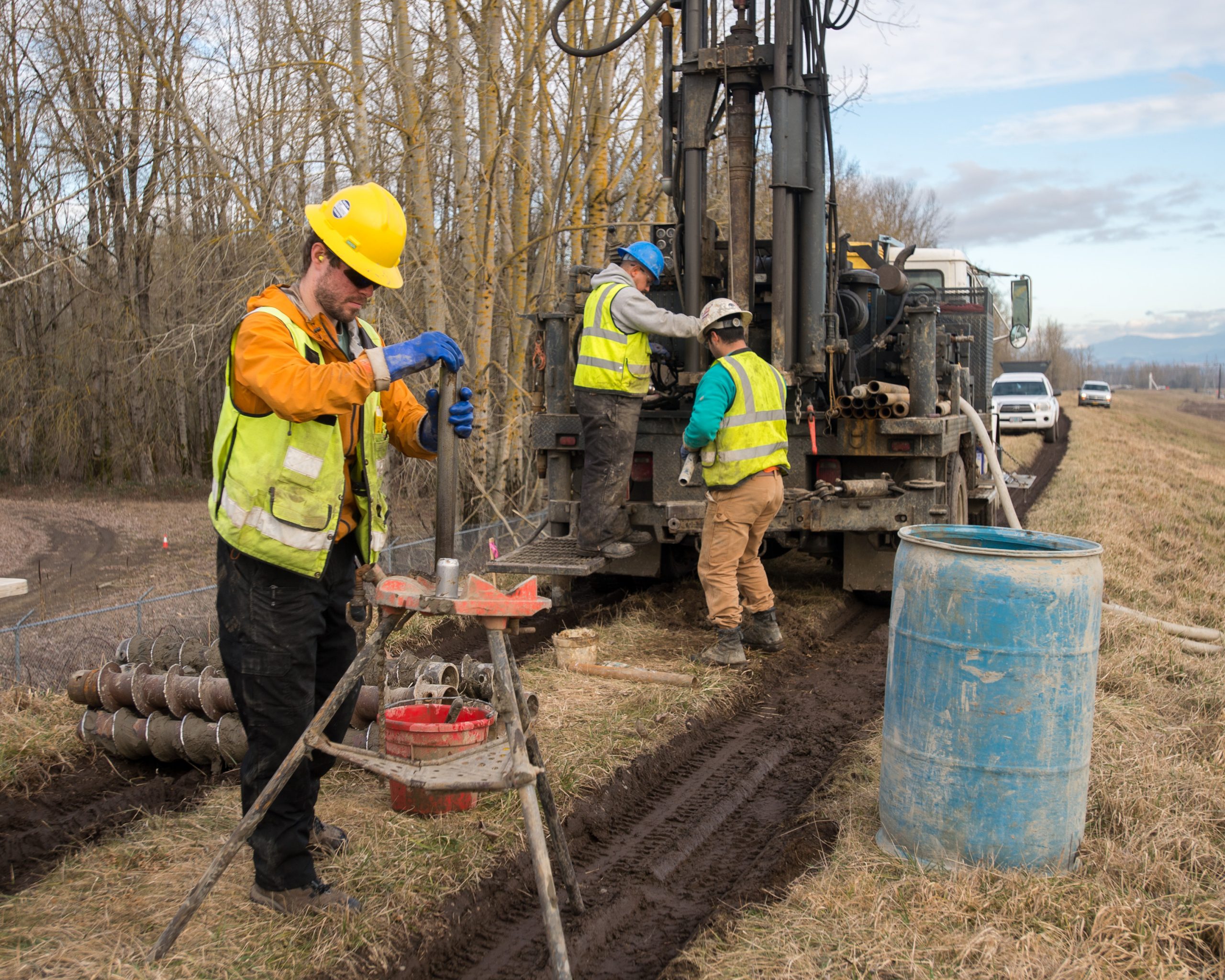
As local sponsors of a federally-authorized levee system, the Districts work closely with the United State Army Corps of Engineers (USACE) to conduct routine and periodic inspections of our levees. These inspections help monitor the overall condition of the system, identify deficiencies, and determine eligibility for federal rehabilitation assistance (in accordance with P.L. 84-99), through the Rehabilitation and Inspection Program.

Our levees must be accredited by the Federal Emergency Management Agency (FEMA) for property owners in the Districts to remain eligible for FEMA’s National Flood Insurance Program, which enables homeowners, business owners and renters to access low-cost flood insurance. Following Hurricane Katrina in 2005 and Superstorm Sandy in 2012, FEMA and the USACE overhauled their safety standards for the nation’s levees, making making it more challenging and expensive for local levee managers, like our Districts, to maintain the levees and prove they meet federal standards.
 In 2013, regional partners came together to form Levee Ready Columbia, a partnership of over twenty organizations committed to a collaborative approach to meeting safety standards and preparing our community for future floods.